Blog
A number of activities and topics of interest are included in the blog posts below. For educational curriculum enhancers on Texas history, visit the Fort Bend Connection page.

|
By ALLISON HARRELL Texian Time Machine & Outreach Coordinator When Anglo settlers first came to Texas, one of their first orders of business was to obtain a land grant. A land grant is a legal document that details who owns the land, where the land is located and who gave or sold the land. The first land grants were not issued in our part of Texas until 1824, which meant that settlers had been living in Texas for a few years before Stephen F. Austin managed to successfully negotiate the details of land grants. People will always fight over land -- and Austin learned this truth very quickly. Everyone wants the best land with the most resources, and they also want to be very sure that they are getting the exact amount of land they were promised. Surveying the Land
The Surveying Team
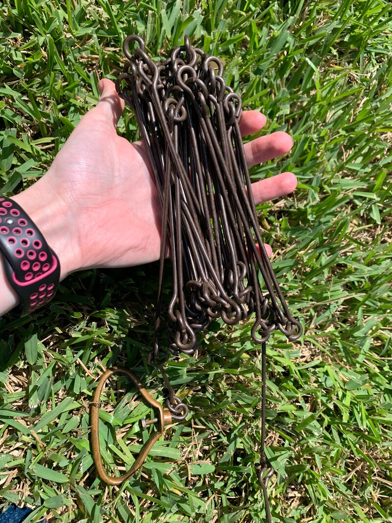
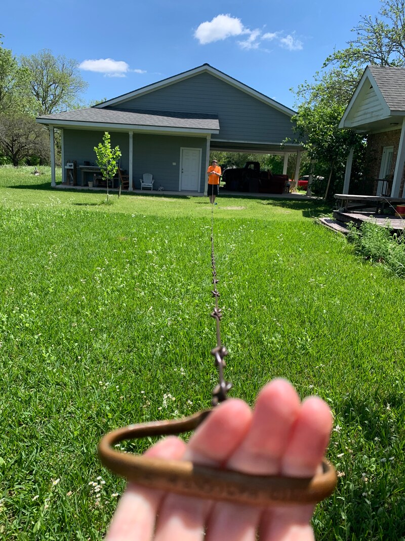
Detailed & DangerousEvery detail of every survey had to be recorded: the location where they started, the trees that they encountered along the way, the number of chain lengths that they went, the direction that they were going, etc. The journal of the all the details was signed by the surveyor, so if anyone had an issue with how their land was surveyed or if they found a mistake – they knew who to go to with their issues. This put a lot of pressure on the surveyors to get everything right. Since the survey teams were going out into the unexplored and undefined wild, it was also dangerous work. Sometimes they encountered Native people groups like the Karankawa and the Tonkawa, who were not pleased to have these foreigners trespassing on their traditional hunting grounds. Other times, the dangers were more standard: wolves, poison ivy, mosquitoes and bears, to name a few. Now It's Your Turn!Materials:
Did you find the area of your yard? Take a photo and tag us on Instagram @fortbendmuseum!
2 Comments
I totally agree when you said that the details in the surveying process has to be recorded form the location where you started and so on. I guess people working on commercial land surveying services would definitely have to undergo proper training to actually know what they need to jot down. It would be more vital for such services, since it would definitely prevent issues that can affect the outcome of the project and the budget of the owner. 3/14/2023 01:55:14 am
I totally agree when you said that people would actually want to have the right amount of land they should be getting according to the agreement. I guess having building surveyors will give us the assurance that we are getting what is ours when we have the property checked. This must be important before we have anything renovated in our inherited place. Leave a Reply. |
Funding has been provided to the Fort Bend History Association from Humanities Texas and the National Endowment for the Humanities as part of the 2020 Coronavirus Aid, Relief and Economic Security (CARES) Act of 2020.

AuthorFort Bend Museum Staff Archives
December 2020
Categories |
|
The Fort Bend Museum is owned and operated by:

|
Accredited by:

|
 RSS Feed